Project Overview
This project aimed to engage a diversity of local community volunteers to uncover key locations and rediscover lost histories of the airfields and other military locations and associated support sites (defences and other infrastructure) in and around the Isle of Axholme.
This was to cover the period from WW1 – present day. The project aimed to capture oral histories and family archives in danger of being overlooked, forgotten and lost. Through work with media, displays in community centres and public spaces, and with retirement homes across the region, the project looked to find and interview those involved and with memories of the activities, therefore generating a unique public archive.
The overall project aimed to provide reliable interpretation of these sites, setting them within their overall regional and historic contexts. It will produce interpretation output with various media to commemorate the regional heritage and the part played by individuals and communities. Another outcome would be to research the possibility of identifying historically significant or unique features that have so far been neither recorded nor appreciated.
Lead: Landscape Heritage Research Foundation (Professor Ian Rotherham & Chris Percy) Sheffield Hallam University,
Supported by:
- Epworth Mechanics Library & Archive,
- Royal Observer Corps Association Heritage Team,
- Royal Air Force Museum
Measure
at risk buildings. Create an up to date record for sites and monuments
Target
Delivered
- Created & raised awareness of the diverse military legacy to be found on the Isle of Axholme and the history associated with it
- Extended awareness by wide-scale use of the local media and on-line social media
- Recorded oral histories, which captured key memories from those who were there which enabled a more personal link to the recorded history to be added.
- Oral history transcripts available as downloads as an educational and research resource, along with ‘sound-bite’ audio clips on the project web site.
- Created many new and updated existing records kept by the Historic Environment Office.
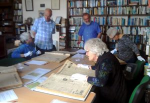
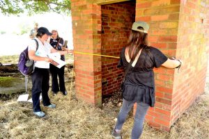
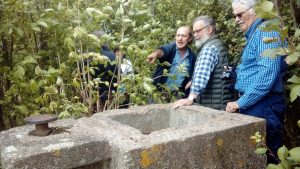
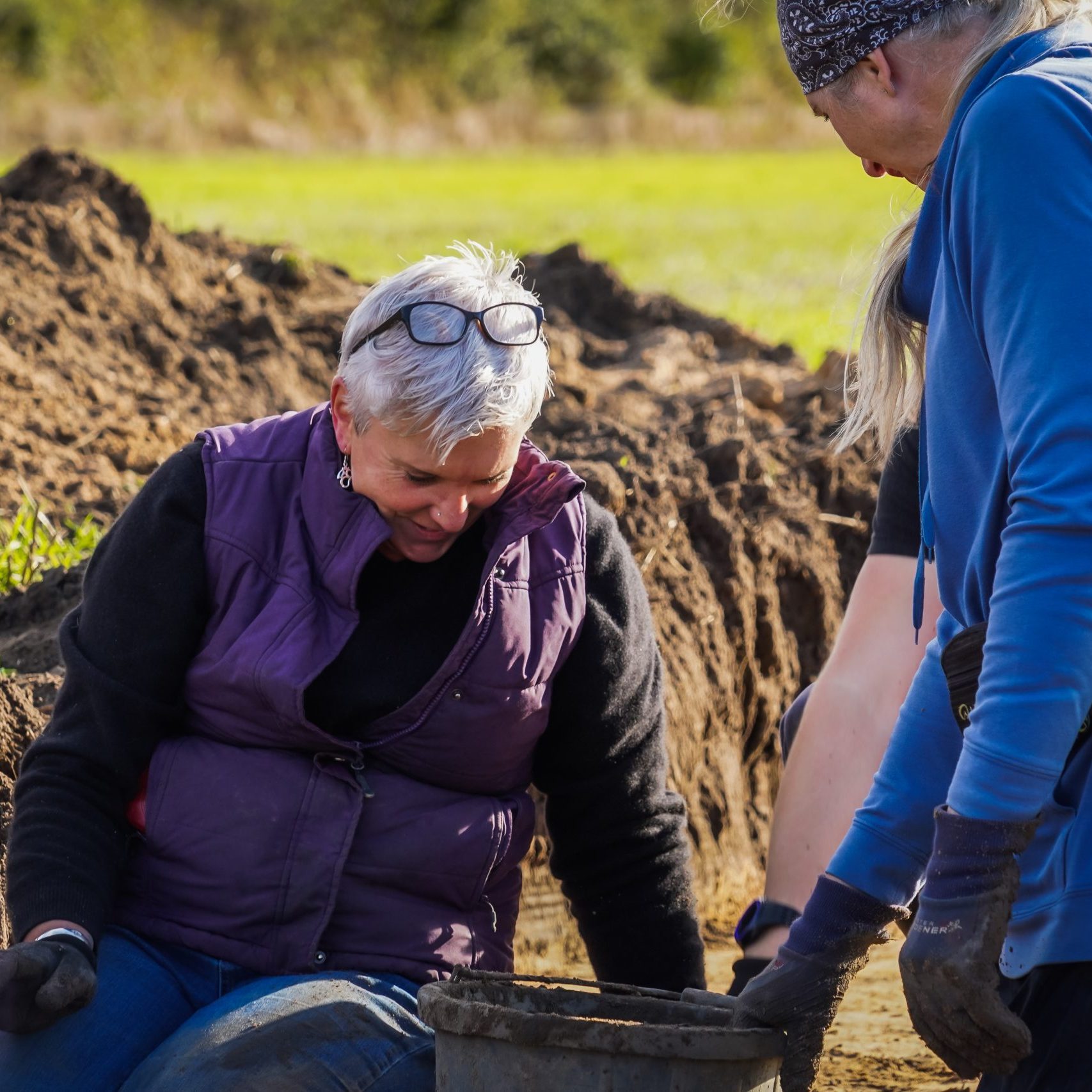
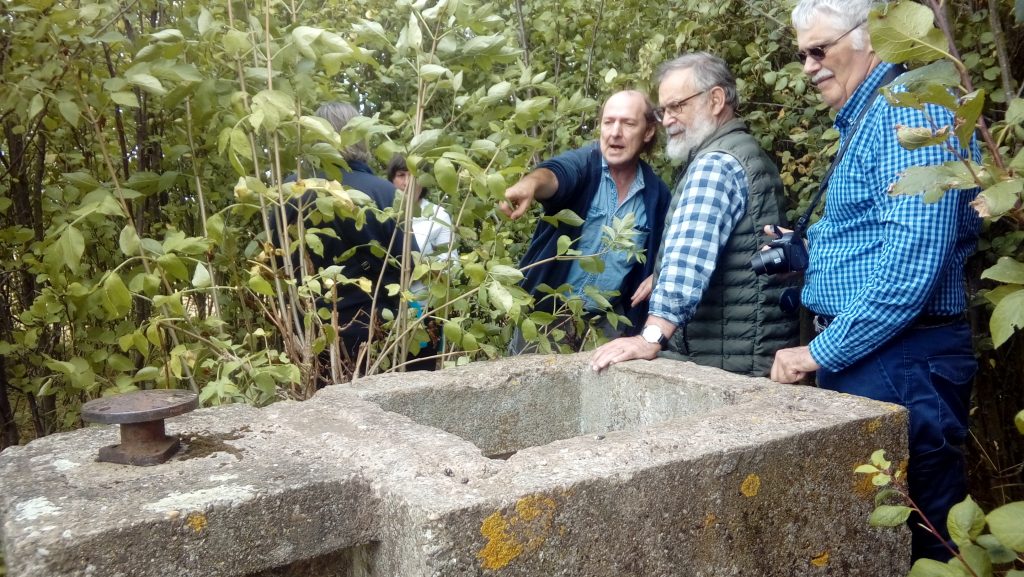
- Volunteers gained new skills including site survey work, archival work and interview techniques
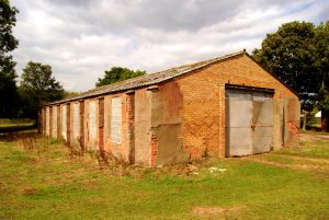
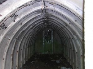
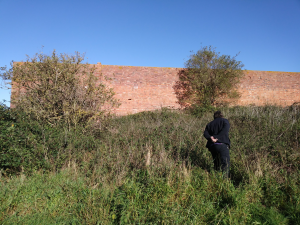
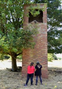
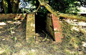
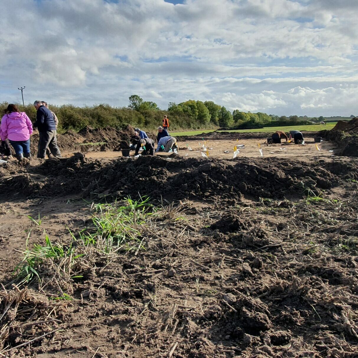
- These new skills were put to use extensively during detailed field recording sessions. This proved invaluable as at least three sites were assessed as ‘At Risk’, with at least one (the former control tower at RAF Sandtoft) scheduled for demolition during 2019.
- An online archive of the project and its output will remain as a resource, with free downloads and information, after the cessation of the project
- Project output includes a number of exhibition posters available on loan or as a download to use for future events.
The Lost Landscapes of Heroes volunteers have brought to life the Isle’s military past. This project has drawn attention to the many sites forgotten, grown-over, dismantled and unrecorded. An important contribution by the project has been recording oral histories with residents who remember poignant local events and some of the sites in their heyday. These recordings linked with the survey work has provided a new perspective to the Isle’s military history. Thankfully, the project came at the right time and these stories and sites are no longer untold and forgotten, and will be a resource available for generations to come.
“Local landowners have been generous with their knowledge and allowing access to their properties. This has proved most helpful uncovering sites that are currently not documented with the local Historic Environment Office. Recording a consortium of sites adds wealth to the local records and builds a much more accurate profile of military activity on the Isle of Axholme. It is also indicative as to what happened prior to the land being used for military purposes and what effects it has had on the developing and historic landscape. These new discoveries are exciting and the team are looking forward to further survey and recording work to see what else can be uncovered.”
“Being part of a small team of volunteers, tasked with finding the ‘Lost Landscape of Heroes’ in the Isle of Axholme, you realise that these concrete slabs in a muddy field represent the remains of a once important building that was part of RAF Sandtoft. It is hard to get your head around the fact, that during the Second World War, there were thousands of air and ground-crew base at this new derelict site, all doing their bit to help with the war!”
“Little did I know when I got involved with the “Lost Landscape of Heroes Project” that I would be tramping round farms and fields looking at old bits of concrete! Along with 3 or 4 other volunteers we have recorded some of the buildings still standing (or falling) at RAF Sandtoft. We have measured, drawn, photographed and plotted with GPS lots of bases of concrete, working out, with the help of old maps, what the buildings were.”
The volunteers from the Lost Landscape of Heroes Project have a desire to continue undertaking work related to surveying buildings and sites that have a historic military use in the Isle of Axholme. With a clear aim of fully completing the surveying of buildings on Sandtoft Airfield. The work they undertake will further build on the report that has been produced during the Lost Landscapes of Hero project. The new volunteer group will be self-led, although in the interim period they will receive support where needed from the IoAHC Project Team’s Archaeologist. Materials produced by the project and any subsequent information from the additional work undertaken by volunteers will be available on both the Lost Landscape of Hero Project website and the IoAHC Project website. This will include reports, plans, maps and oral histories.

