

Project Overview
This project has fenced the Isle of Axholme and North Nottinghamshire Water Level Management Board’s land on which Keadby Warping Drain is situated; this has allowed grazing and the creation of grassland habitat so that the historic Keadby Warping Drain is situated in an area of complementary habitats with access and engagement in ‘warping’ and land drainage history.
The IoAHC Programme Team along with volunteers have been, and will continue to undertake annual wildlife surveys to monitor the habitat improvements.
Lead: Isle of Axholme and North Nottinghamshire Water Level Management Board
Supported by: North Lincolnshire Council
Measure
Target
Delivered
Volunteers have been out with the IoAHC Programme Team to help undertake wildlife surveys on site, this will help volunteers, the team and partners understand how fencing and gazing the land has helped with improving the bio-diversity of this landscape.
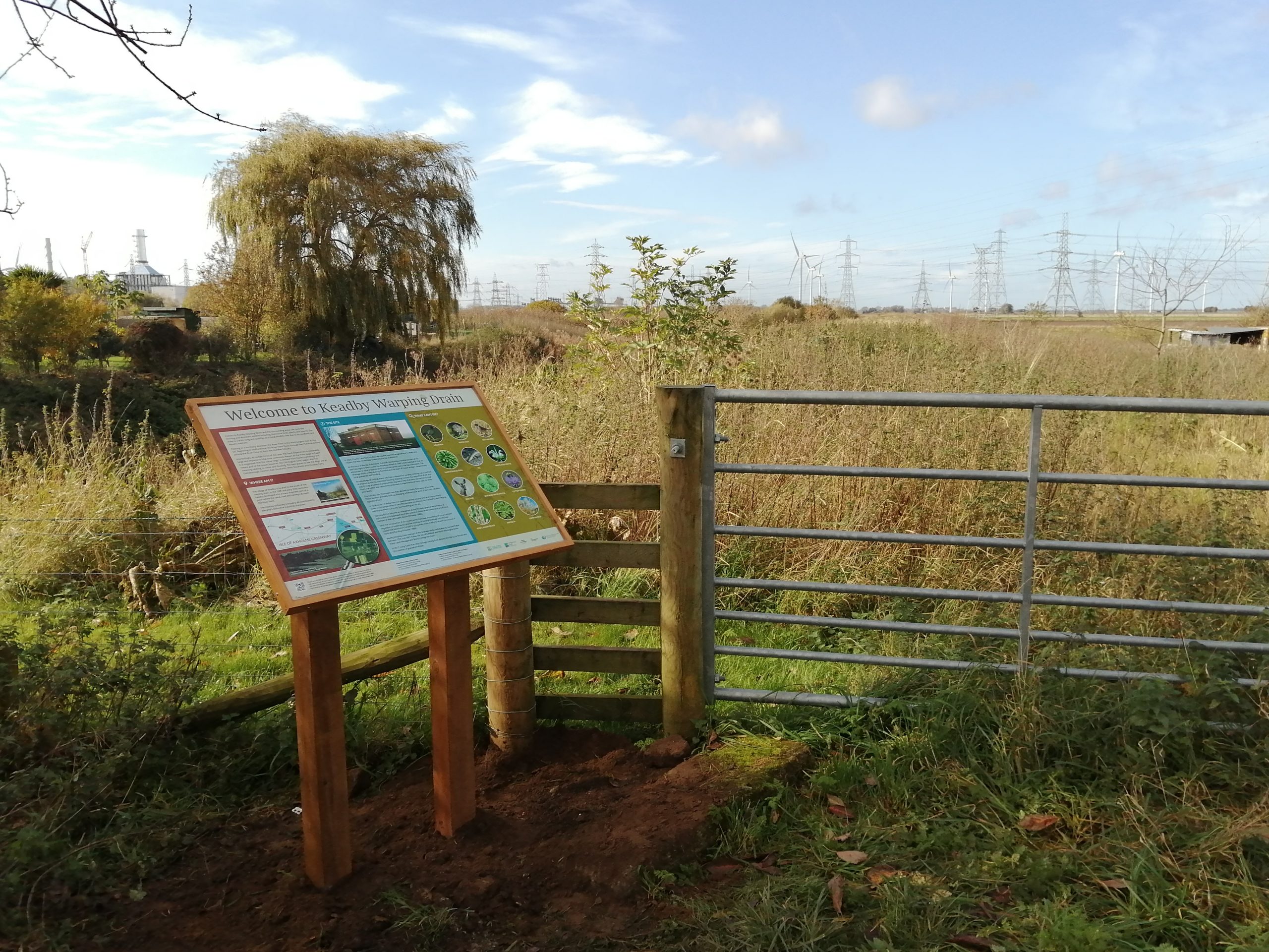
2020 saw an interpretation board installed on site to allow visitors to understand the history of warping on the Isle, along with what flora and fauna are in the area.
Gallery
-
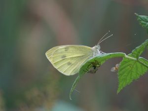
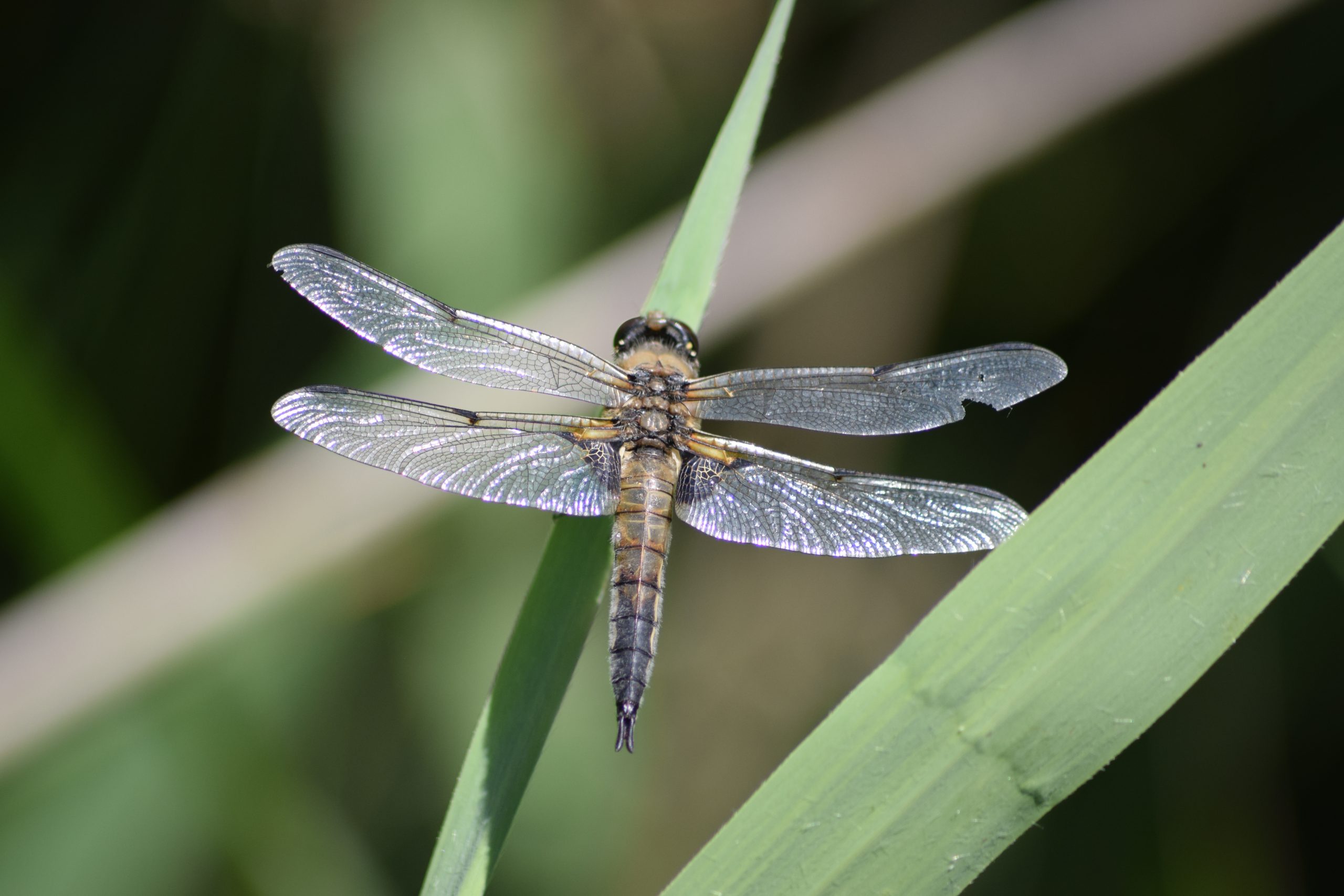
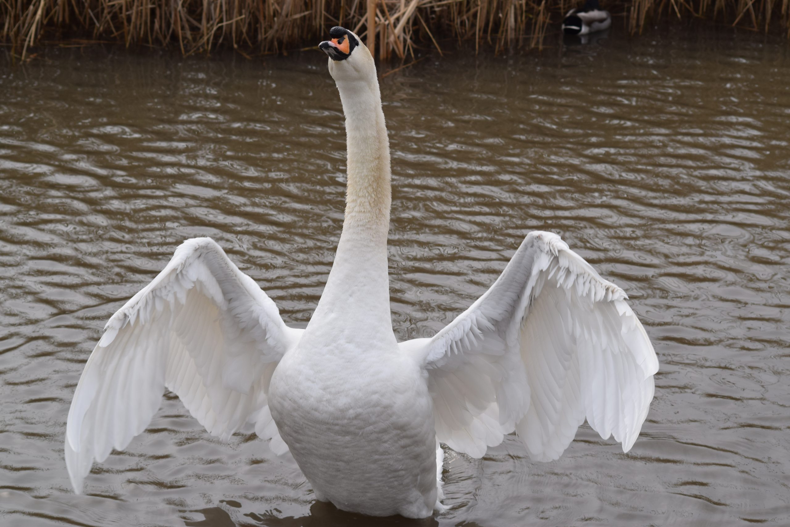
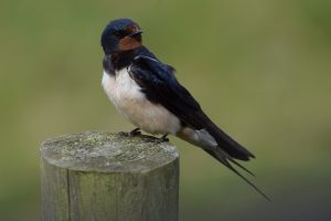
- Wildlife on the Isle of Axholme
-
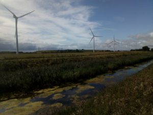
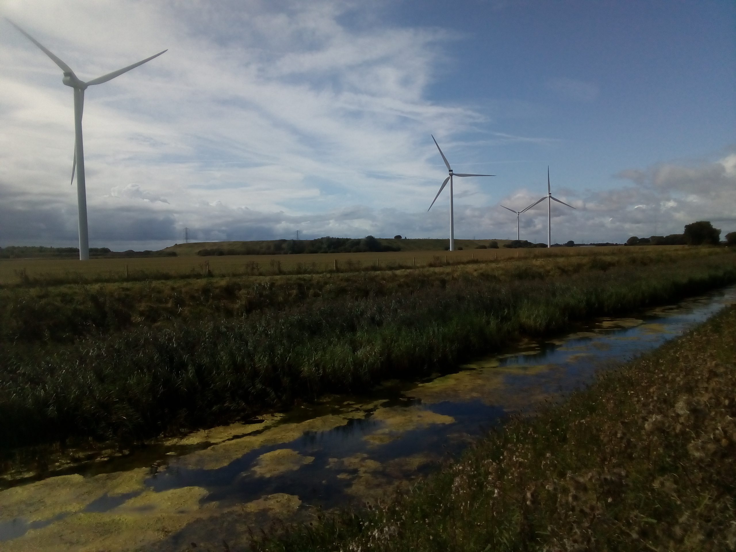
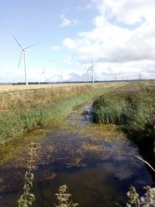
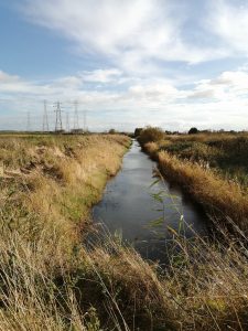
- View over the drain to the wind towers

-
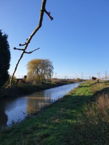
- View along Keadby Warping Drain from the main road

-

- Information board installed at Keadby Warping Drain
-
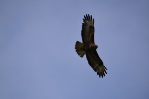
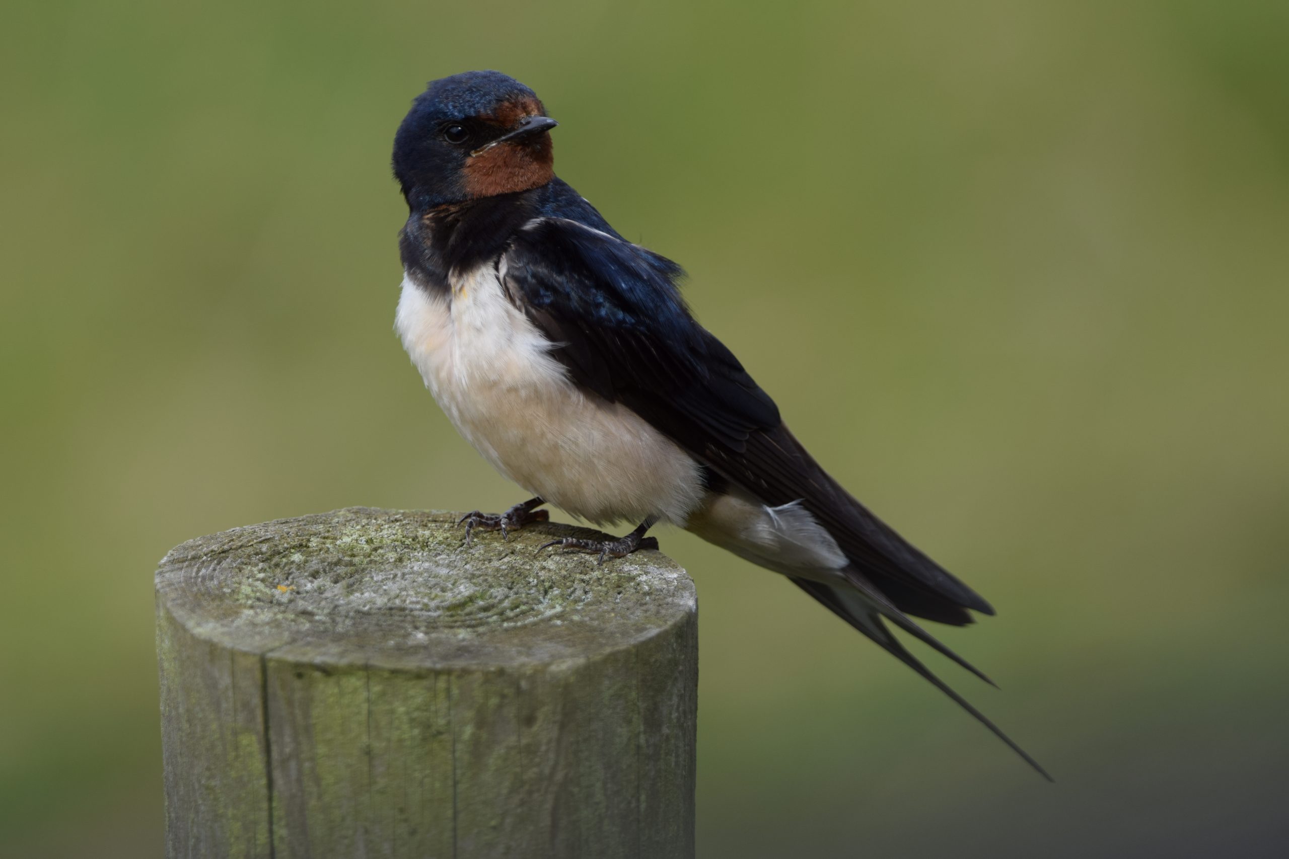
- Wildlife on the Isle of Axholme

-
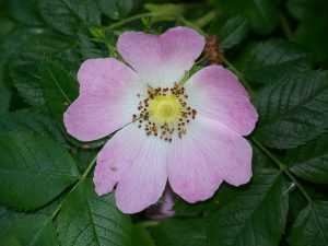
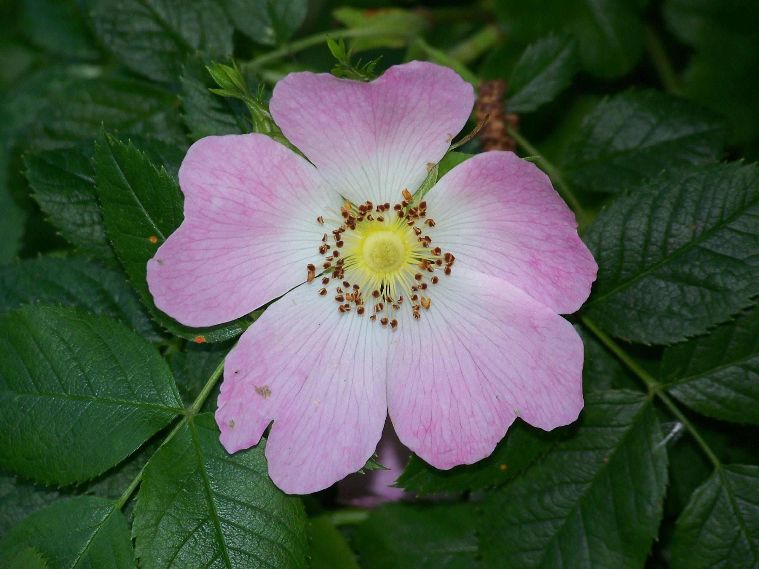
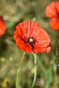
- Flora on the Isle of Axholme
-

- Wildlife on the Isle of Axholme
-
- Keadby Warping Drain in Autumn 2020

-
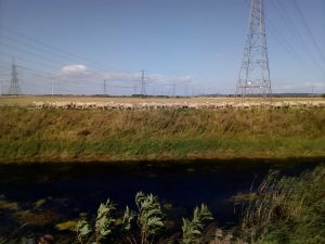
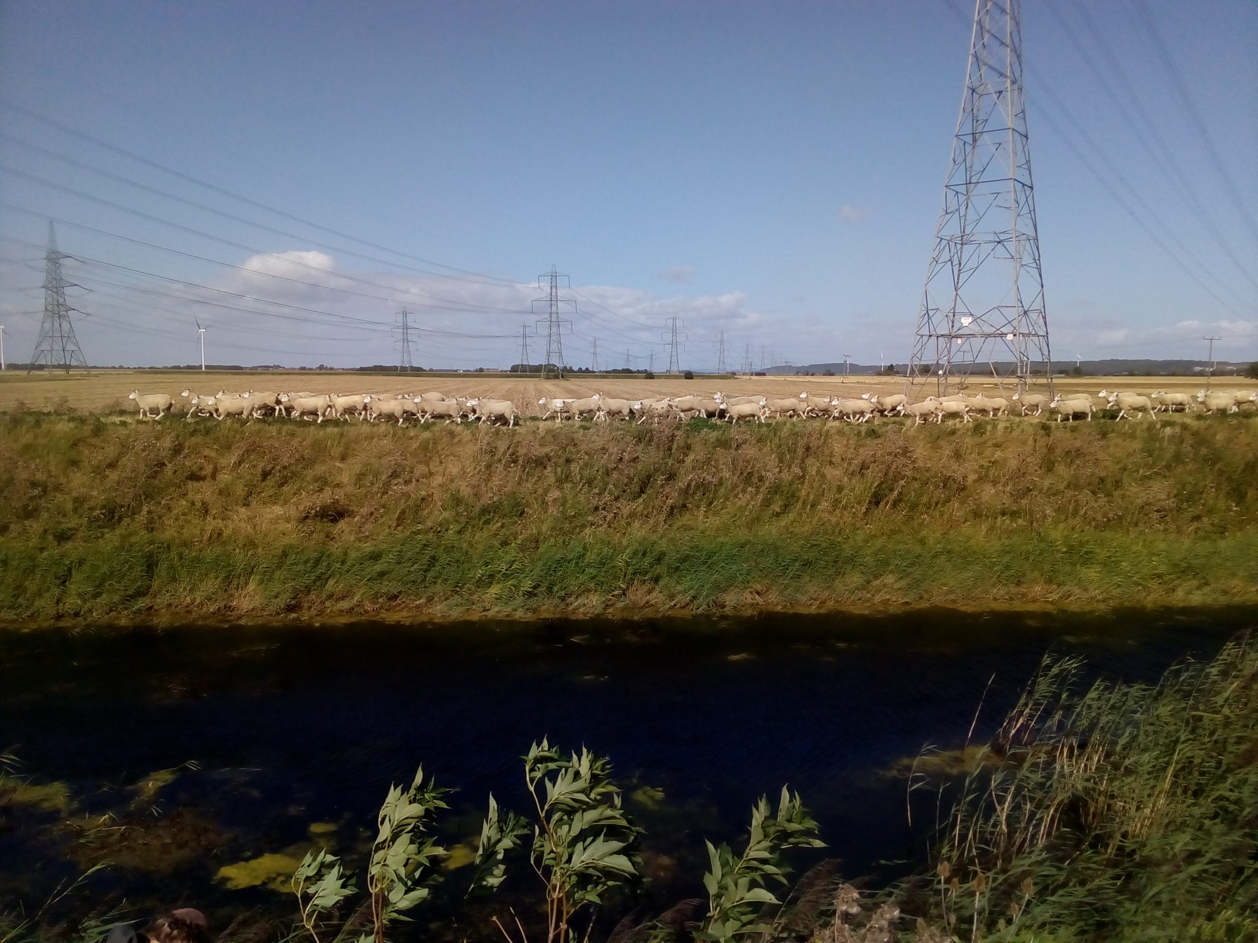
- Sheep along the bank side of Keadby Warping Drain
-
- Keadby Warping Drain in Autumn 2020

-
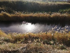
- Keadby Warping Drain in Autumn 2020

-
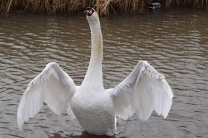
- Wildlife on the Isle of Axholme
-
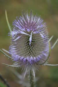
- Flora on the Isle of Axholme

-
- Wildlife on the Isle of Axholme
-
- Flora on the Isle of Axholme
