Project Overview
Improved access to the landscapes of the Isle of Axholme and the moors of Crowle, Thorne and Hatfield. The aim was to join up the missing sections of the Isle of Axholme Greenway and make links to the wider landscape and the moors beyond.
Target links were to include areas between Haxey and Epworth and between Belton and Crowle. A further route would exploit the existing canal and waterway of the area.
Routes aimed to provide a facility for multiple users e.g. horse riders, cyclists and walkers. Where feasible facilities would also be disabled compliant.
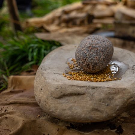
The routes would be publicised using a variety of techniques and interpreted along their length. Parts of the interpretation would be linked to the findings from archaeological finds etc.
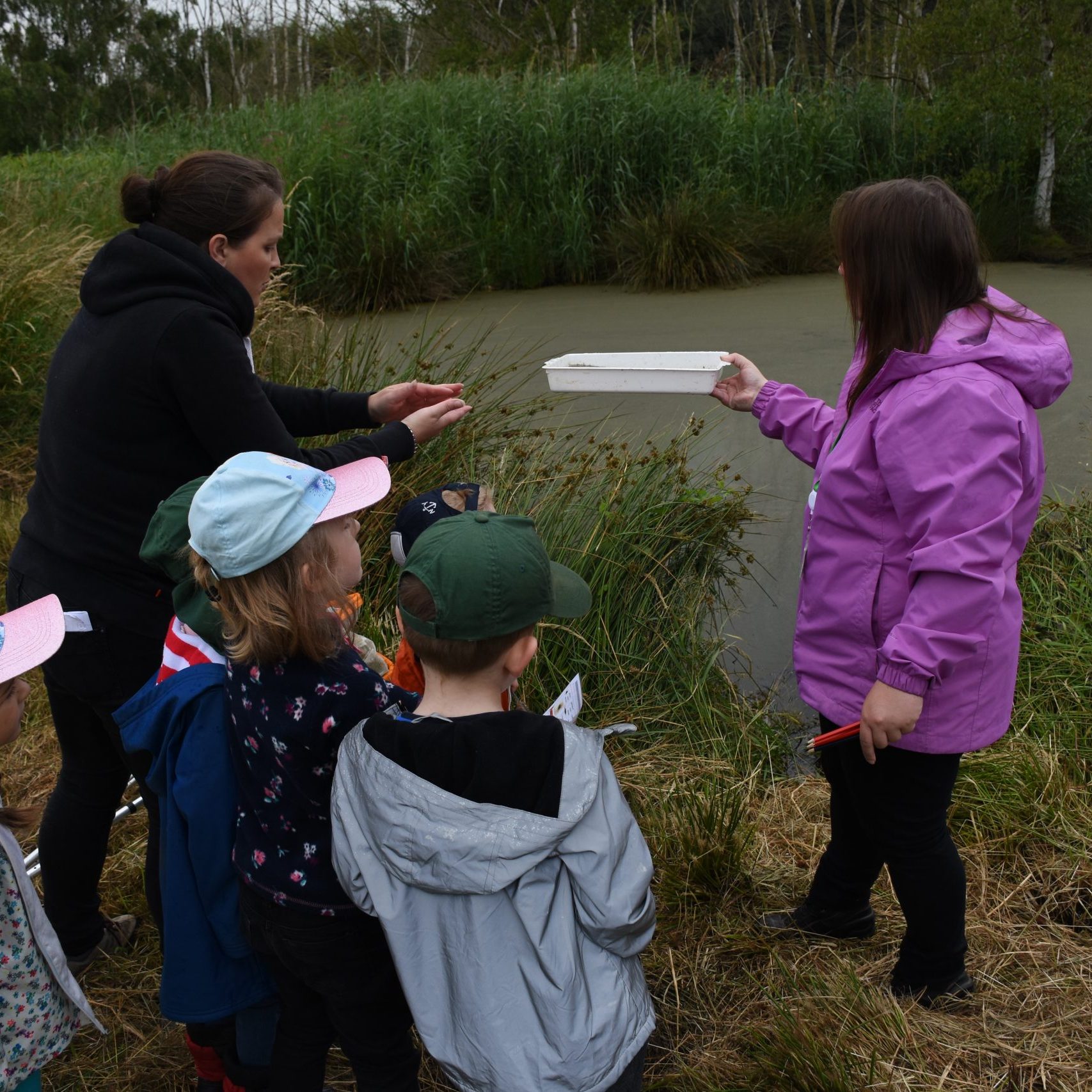
Works to the routes would also involve a range of volunteers from the community and from outside.
Lead: North Lincolnshire Council
Measure
Target
Delivered
The Isle of Axholme Greenway has enabled residents to explore more of the Isle Landscape, alongside offering opportunity to improve their wellbeing.
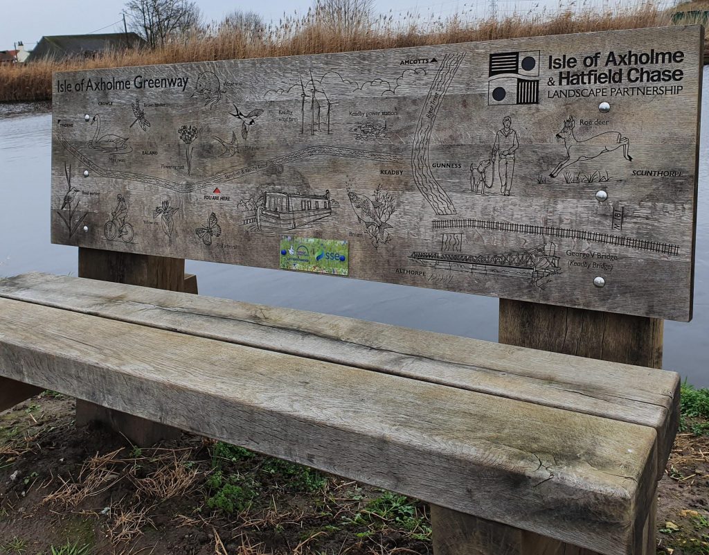
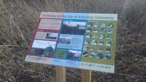
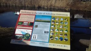
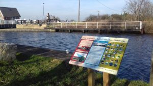
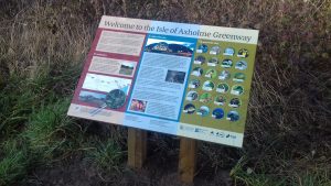
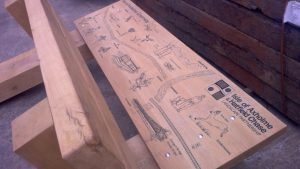
Using the industrial infrastructure of the Isle, either running alongside the Keady and Stainforth Canal or along the old Axholme Joint Railway Line, residents can learn about their local heritage from interpretation boards dotted along the route.
The boards also offer an insight into what wildlife users might be able to see whilst using the route.
There are plans to extend the Greenway South from Ealand to Belton, Epworth and Haxey.
Work on this section is planned to take place between 2021 and 2022 and further detail will be available once complete.
Gallery
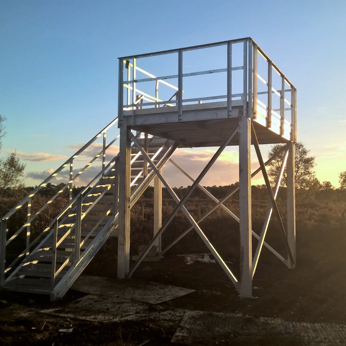
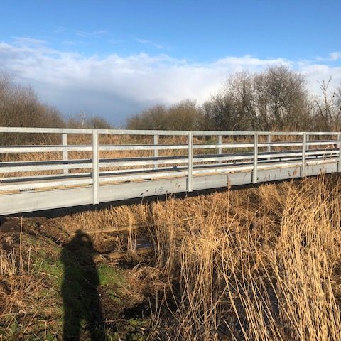
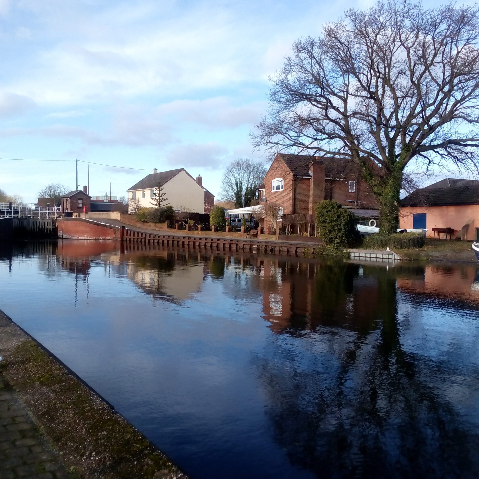
- Pathway along Stainforth and Keadby Canal – part of the Isle of Axholme Greenway
- Pathway along Stainforth and Keadby Canal – part of the Isle of Axholme Greenway

